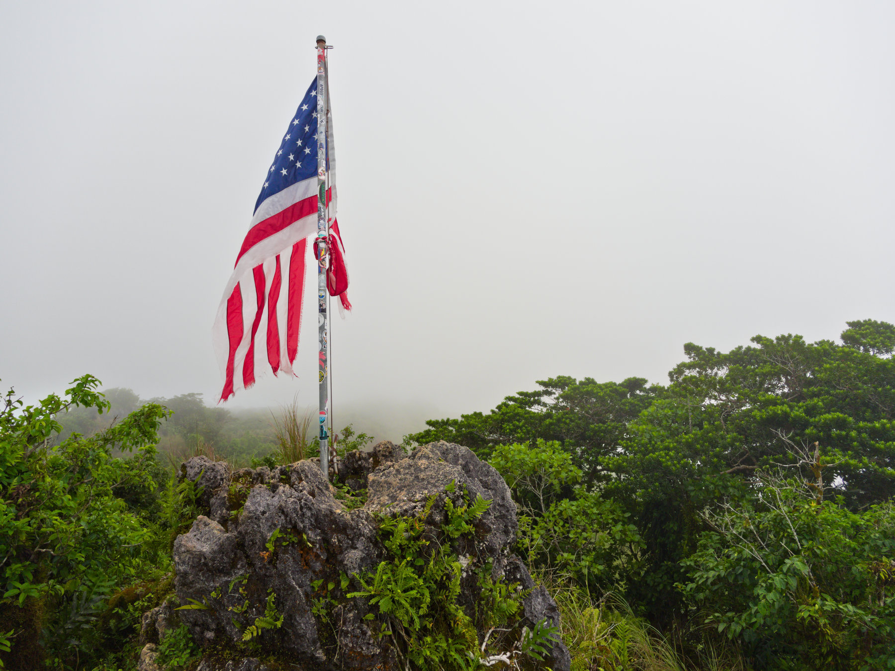
I won’t forget this day at the top of Mount Lamlam. It was the day I experienced my first cloud inversion on Guam. Usually visible on opposite sides of the summit, the Pacific Ocean and Fena Reservoir were obscured during this phenomenon by clouds. Fearing they would soon pass, I quickly pointed my camera in several directions and pressed the shutter.
The flag resting above a concrete slab at the mountain’s highest point was sun-faded and wind-torn, but still vibrant. Its isolation in the mist was a reminder of our isolation in the Pacific. We are America’s tiniest island outpost, 7,100 miles from its nearest mainland coast. Our territory is often called “the tip of the spear” because we endure the sun and wind of threats from the east. But we are also the place where America’s day, gleaming with freedom and prosperity, begins.
A cloud inversion, also known as a temperature inversion, occurs when a layer of warmer air traps cooler air near the ground, preventing it from rising. This phenomenon can lead to fog or clouds being trapped at lower altitudes, creating beautiful landscapes when viewed from higher elevations.
— Duck.ai Search Assistant
There is limited data providing evidence on the frequency of cloud inversions in southern Guam. I had a long discussion with ChatGPT (via Duck.ai) on this matter. In eleven years of exploration on this island, I have never seen conditions of this sort. Others on the mountain at the time made similar comments. We were likely some of the privileged few at a high enough elevation to observe them.
I’m looking forward to making a return trip, anxious to see how the flag held up in Super Typhoon Bavi. I hope to find it like the rest of Guam, a little rougher around the edges, but still standing strong.